Custom Home Builder Burlington provides Conservation Halton permits, ravine-lot approvals, shoreline hazard mapping and regulated-lot design throughout Burlington and Halton Region, backed by 22+ years combined Halton design-build experience. This page explains what a Conservation Halton permit covers, how regulated limits are set, which studies may be needed and how we keep a regulated lot from stalling your project.
What Is a Conservation Halton Permit?
Conservation Halton is the conservation authority for most of Burlington and Halton Region. Under the Conservation Authorities Act, it regulates development in areas affected by natural hazards: river and stream valleys, floodplains, wetlands, unstable slopes and the Lake Ontario shoreline. If your lot is in a regulated area, building a house, placing fill, changing grades or even adding a large deck there needs a Conservation Halton permit.
In Burlington, the regulated areas that most often affect custom homes are around Grindstone Creek in Aldershot and the west end, Rambo Creek through central Burlington, Shoreacres Creek in the east and the Lake Ontario shoreline from Aldershot to Burlington Lakeshore. Ravine lots in Tyandaga and parts of Headon Forest are also commonly regulated.
Why Regulated Lots Catch Buyers Out
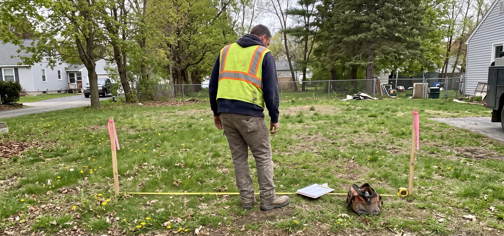
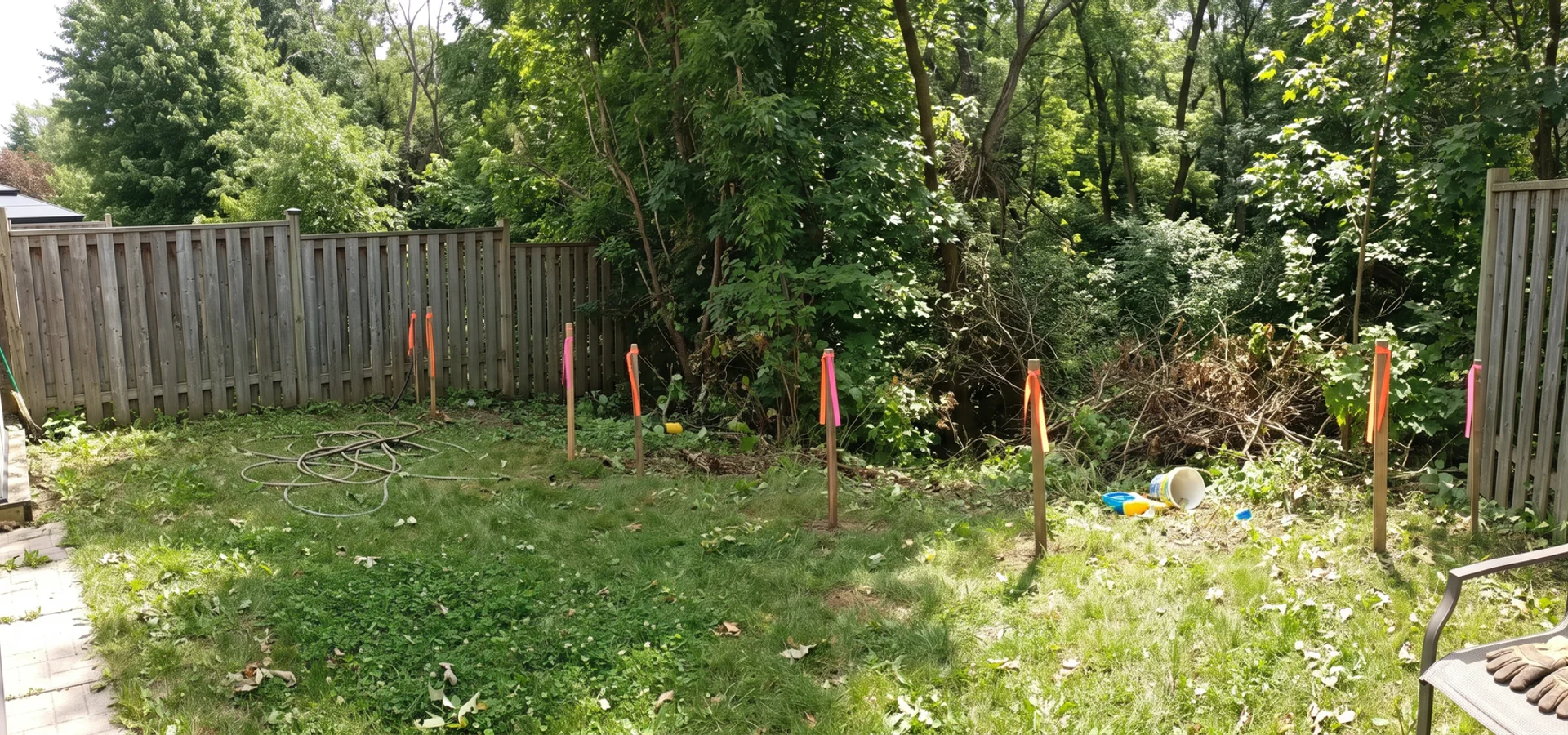
Many homeowners buy a creek or ravine lot before checking the regulation, then discover that 30 percent of the lot is undevelopable. The project pauses 12 to 20 weeks for redesign, and sometimes the house they planned simply does not fit. The lot looked deep on the survey, but the buildable depth ends at the hazard limit.
That is the second of the three traps in our problem overview, and it is the reason our written lot evaluation screens every lot for regulated areas before any design work starts.
How Regulated Limits Are Set
Valley and ravine lots
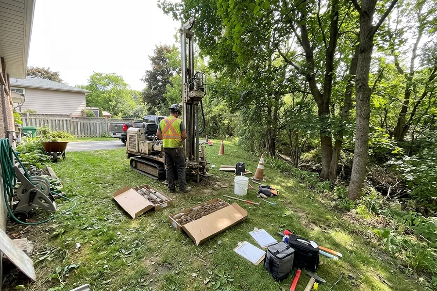
For a ravine, the key line is the stable top of bank. Where the slope is steep or soils are weak, the stable top of bank can sit well back from the visible edge. Conservation Halton typically adds an erosion hazard allowance and a setback from the hazard. On many lots, a geotechnical slope stability study is needed to confirm the line.
Floodplain lots
Near creeks, the floodplain sets where habitable space can go. A floodline analysis may be needed if mapping is not detailed enough for your site.
Lake Ontario shoreline
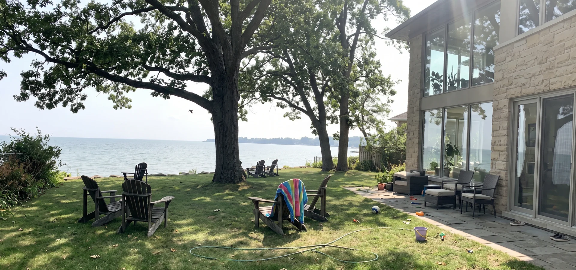
On the lakefront, the shoreline hazard combines flooding (including the 100-year flood level), erosion and wave uprush allowances. The house, lower level and openings must sit outside or above these limits.
A practical example
Chloe S. in Aldershot had been told by two builders that her house would not fit on her Grindstone Creek lot. Our lot evaluation measured the real top-of-bank setback, the design shifted 4 metres, and Conservation Halton approved it on the first submission.
Studies Conservation Halton May Request
| Study | When it is needed | What it confirms |
|---|---|---|
| Slope stability study | Ravine and valley lots with steep or high slopes | Stable top of bank and setback |
| Erosion hazard assessment | Creek-side and shoreline lots | Erosion allowance |
| Floodline analysis | Lots near watercourses without detailed mapping | Flood elevation and limit |
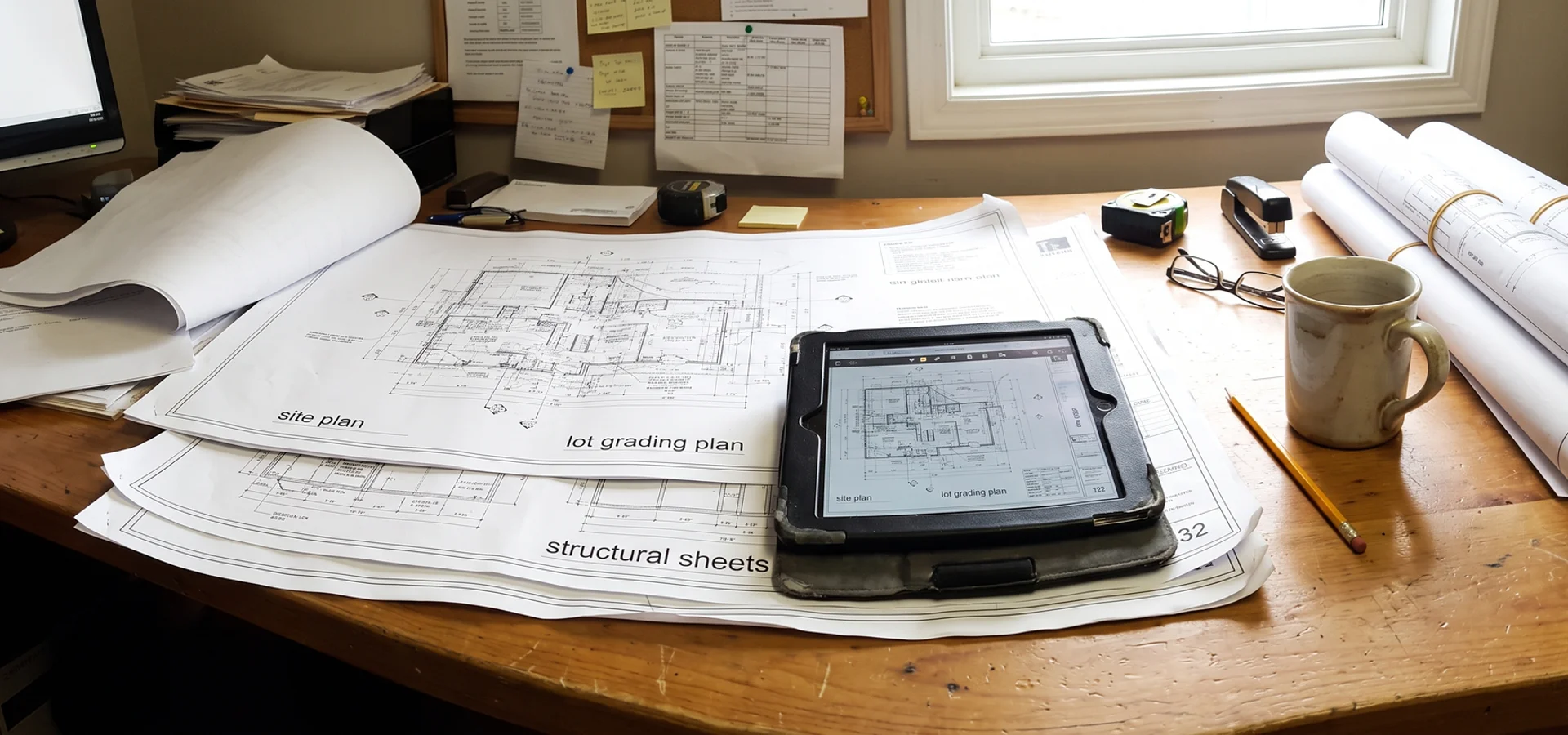
| Grading and drainage plan | Most regulated lots | How water moves on and off the lot |
| Tree inventory and protection plan | Wooded valley lots | Trees to keep and protection zones |
| Stormwater management brief | Larger impervious areas | Runoff control toward the valley |
We commission only the studies your lot needs, and we start them during design so they are ready with the application.
How a Conservation Permit Fits With Other Approvals
A regulated lot often involves several approvals at once. The building permit from Burlington Building Division under OBC Part 9 generally cannot be issued until the conservation permit is in place. Some lots, particularly in Tyandaga and north Burlington, also fall within the Niagara Escarpment Plan, which needs a Niagara Escarpment Commission development permit. Zoning By-law 2020 still applies to height, setbacks and coverage, and the Halton Region Official Plan sets the broader policy framework for natural heritage and hazards.
Our in-house expeditor manages all of these on one desk, so they run in parallel. See our building permit application service for the full permit path.
Costs and Timing
Our regulated-lot permit service typically costs $5K to $18K, depending on the studies required and the complexity of the site. That covers screening, study coordination, the application and responses to agency comments. Consultant study fees and agency fees are identified in the lot evaluation.
When screened early, the conservation permit usually runs inside our 14 to 18 week permit window.
Designing a Great Home on a Regulated Lot
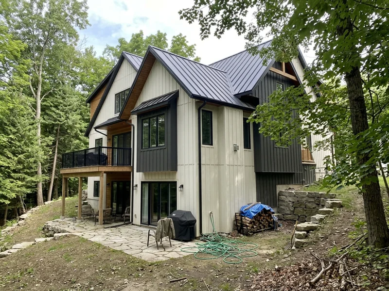
A regulated lot is not a second-best lot. Some of our favourite homes sit on them: the Aldershot modern that turns its glass toward the Grindstone Creek valley, the Tyandaga escarpment farmhouse with a walkout following the natural grades, and the Downtown waterfront home that faces Lake Ontario from above the flood line. The trick is designing from the confirmed limit, not discovering it later. Start with a written lot evaluation.